Detecting isn't enough —
it has to be early!
A wildfire can double in size every few minutes — so every step, from lens to alert, is built for speed.
Our solution
SafeForest® isn't one rigid product — it's a family of early fire AI detection systems, each built for a different terrain and a different threat. Every member starts from the same core — an AI detection camera and somewhere to run its AI, on the tower or in the cloud — and adds only what a specific scenario demands. All of them share the same detection cameras, the same geolocated alert and the same command-and-control platform: modular, hybrid when you need it, and scalable one camera, one grid at a time — from a single private property to hundreds of square kilometres of forest, solar farms or industrial sites.
01 · SAFEFOREST® · the base of the family
UHD optical eyes — and a box that thinks on the tower
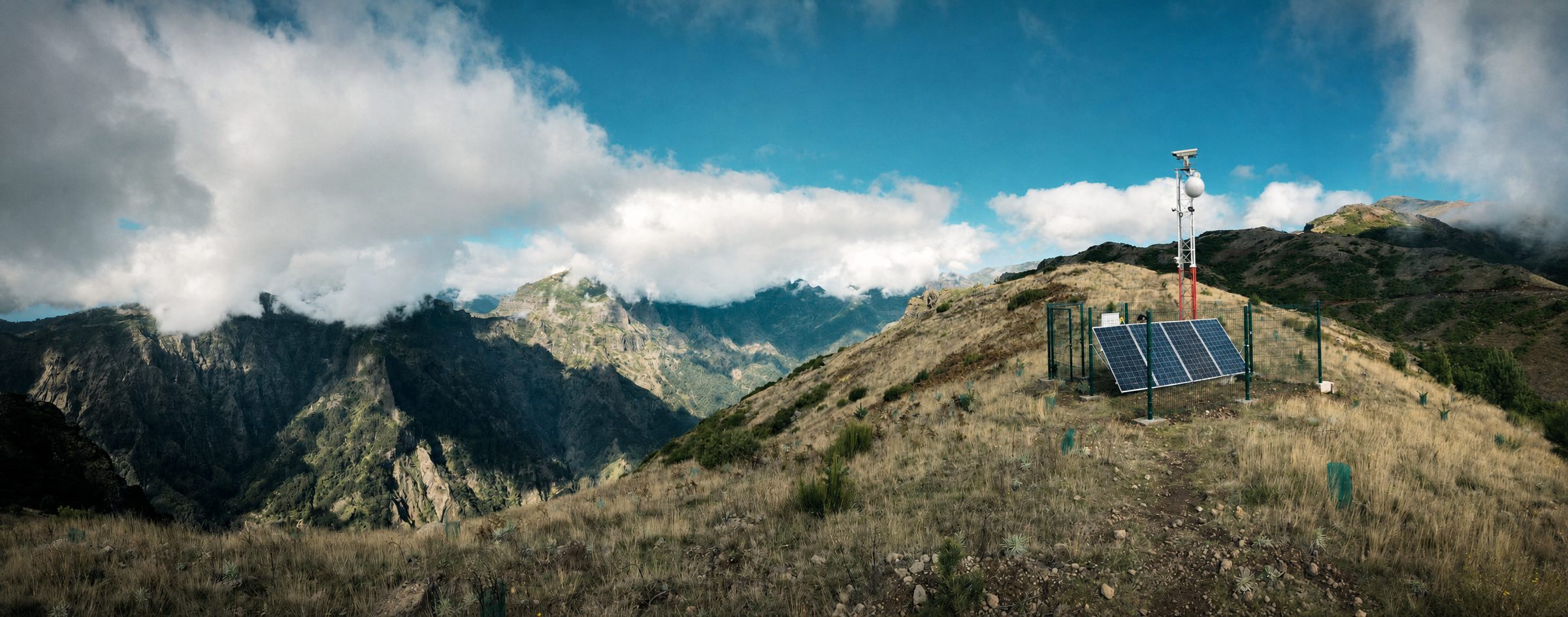
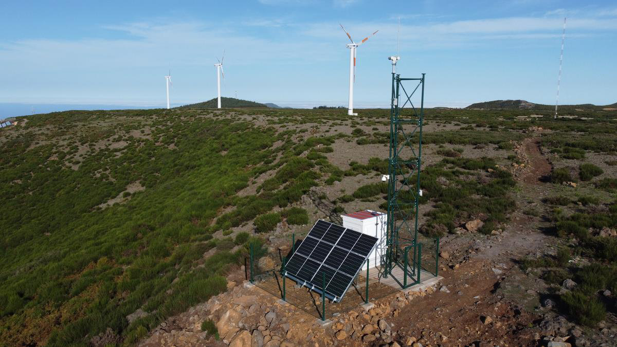
Video-based fire detection with optical cameras — visible light and near-infrared — in Ultra High Definition, with edge processing on the tower enabling more accurate smoke detection at distances beyond 15 km. It is the base of the family — every other member builds on it.
- UHD PTZ cameras, visible + near-infrared — smaller plumes, greater distances, day and through haze
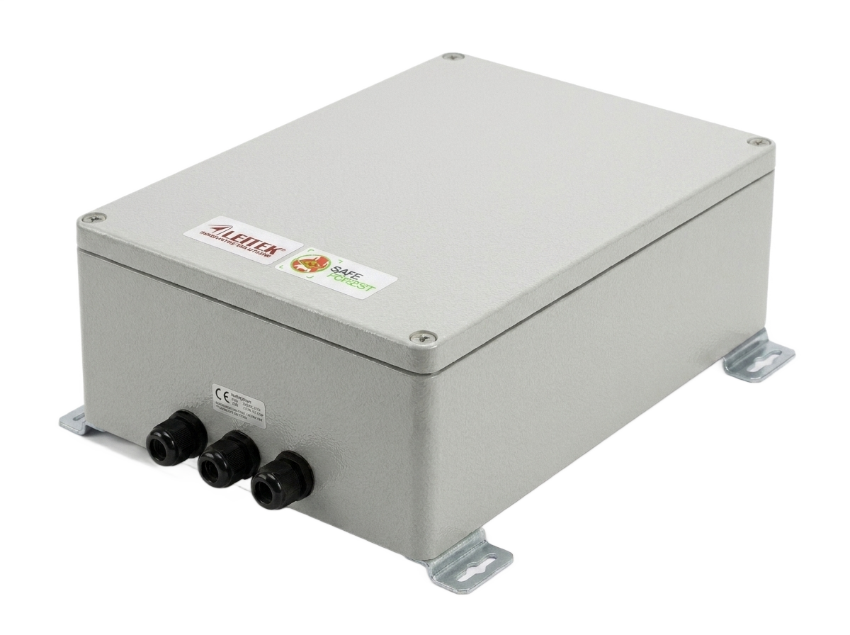
- SafeForest® Edge — the most powerful outdoor edge unit of its kind: GPU inference on the tower, no bulky cabinets, no civil works
- Geolocation with a single detection unit in most situations — triangulation also possible
- Also detects people and vehicles — a security function and a deterrent against arson
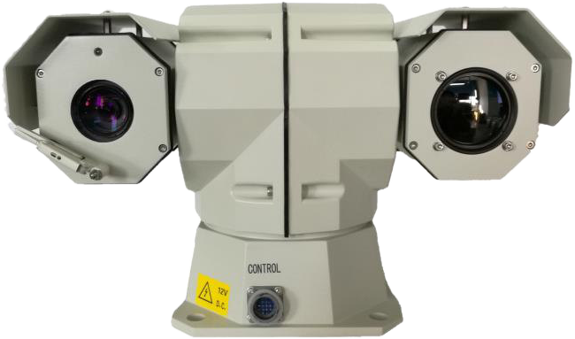
02 · SAFEFOREST® DUO · optical + thermal
Two spectra in one head — for the night shift
In addition to the optical camera, Duo integrates a thermal imaging camera — combining the advantages of optical detection with infrared-based detection, such as hot spots, and improving performance in most situations during nighttime operation.
- Bispectral PTZ: visible + long-wave infrared — smoke by day, hot spots by night
- First contract in 2025 — Vodafone / Mota-Engil consortium, Municipality of Lagos, connected to the Civil Protection operations centre; Chaves follows in 2026
- Fully automatic or human-in-the-loop — your call
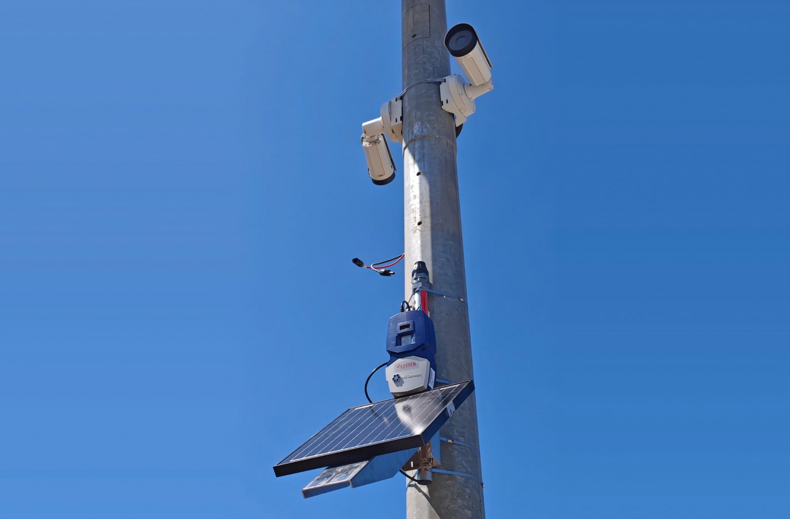
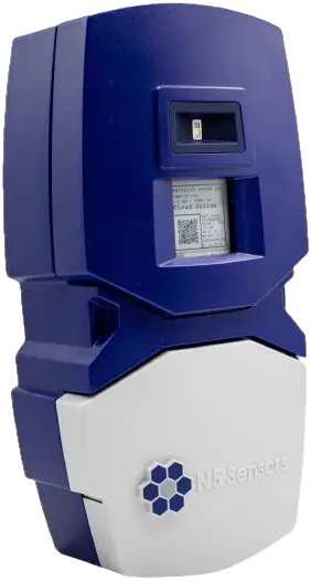
03 · SAFEFOREST® SHIELD · cameras + IoT sensors
Cameras fused with a multimodal IoT sensor network
Shield is what you get when a camera-based SafeForest system is integrated with a multimodal IoT sensor network — chemical, radiation and more. It is the first commercially available system in the world with these characteristics, and it detects nascent fires and fires in shadowed areas, where no camera can see.
- Ground IoT nodes sense the smoke and gases typical of forest fires — non-line-of-sight, day and night
- Significantly fewer false alarms: trained algorithms plus multimodal confirmation
- Fewer cameras needed in complex orography — the sensors cover the blind zones
- Plug and play: every SafeForest system is ready to integrate ground IoT sensors (N5Shield®)
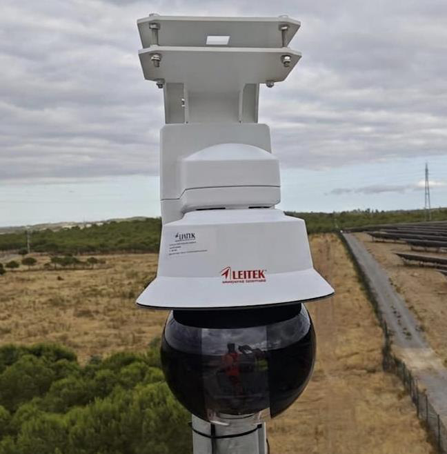
04 · SAFEFOREST® HELIOS · HELIOS PV · infrastructure & solar
From building rooftops to the world's first system for large solar parks
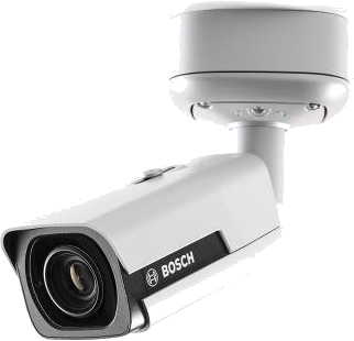
Helios brings the same AI to facilities, indoor spaces, building rooftops and other areas of interest — video-based detection with IR illumination for nighttime, using rotating or fixed cameras and algorithms fine-tuned to each installation. Helios PV is its customised version for large solar parks: proprietary datasets, algorithms tuned to that environment and a GUI built for managers of geographically distributed solar assets.
- PTZ or fixed "bullet" cameras, up to 8 MP — flexible coverage that cuts acquisition costs
- IR illumination for night detection; PTZs can also be driven manually by the operator
- One security manager, many dispersed facilities — one dashboard, customised by the manufacturer
- Helios PV: first contract with GALP after extensive trial & evaluation — 4 large solar parks in 2025–2026
05 · SAFEFOREST® CLOUD · Software-as-a-Service
The same AI, behind any IP camera you already own
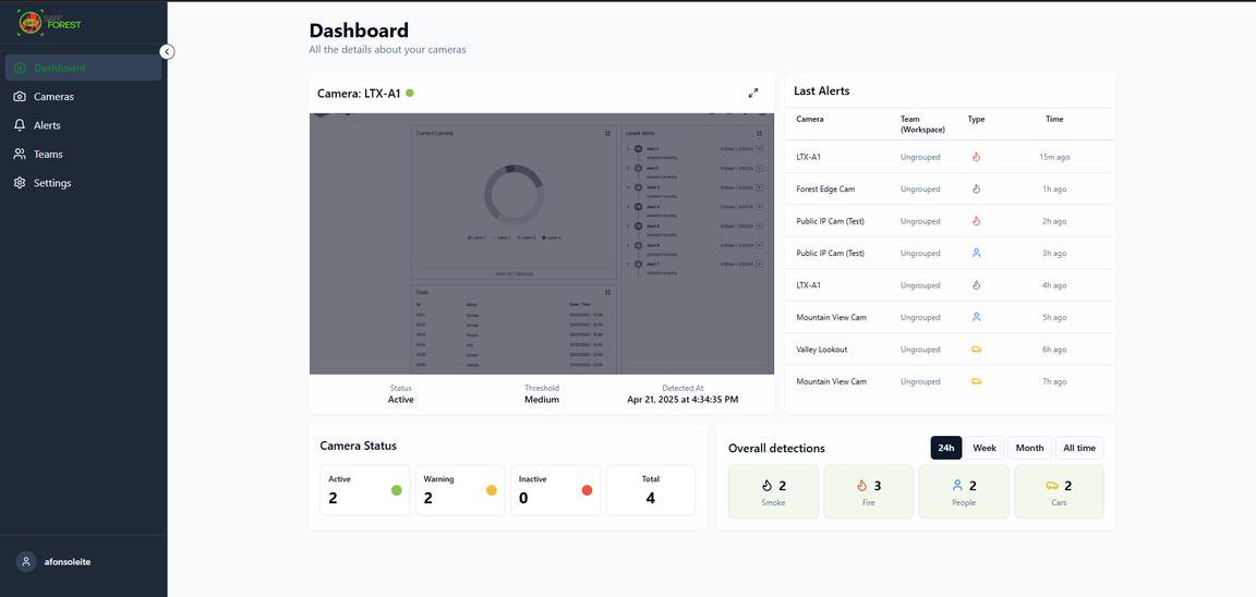
Leveraging our expertise in object detection, SafeForest®-Cloud is a Software-as-a-Service platform designed to extend the capabilities of any surveillance IP camera through artificial intelligence running in the cloud or on a dedicated web server. It supports a wide range of applications — from personal use to large-scale deployments for enterprises, critical infrastructure, electric-vehicle charging stations and smart cities.
- Works with any surveillance IP camera — in the cloud or on a dedicated web server, no dedicated hardware
- Detects smoke, fire, people and vehicles; dashboard with camera status, teams and last alerts
- Forest, home gardens, car-charging stations, risk areas in facilities, smart cities
Detection cameras · shared by the whole family
The eyes — any camera, any member
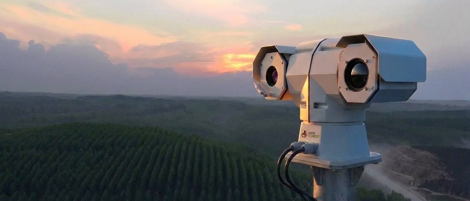
The detection camera is the one thing no member of the family skips. Any SafeForest® system can be equipped with these AI-ready heads — preferably from our partner Bosch, with up to a 5-year warranty (3 years on moving parts).
-
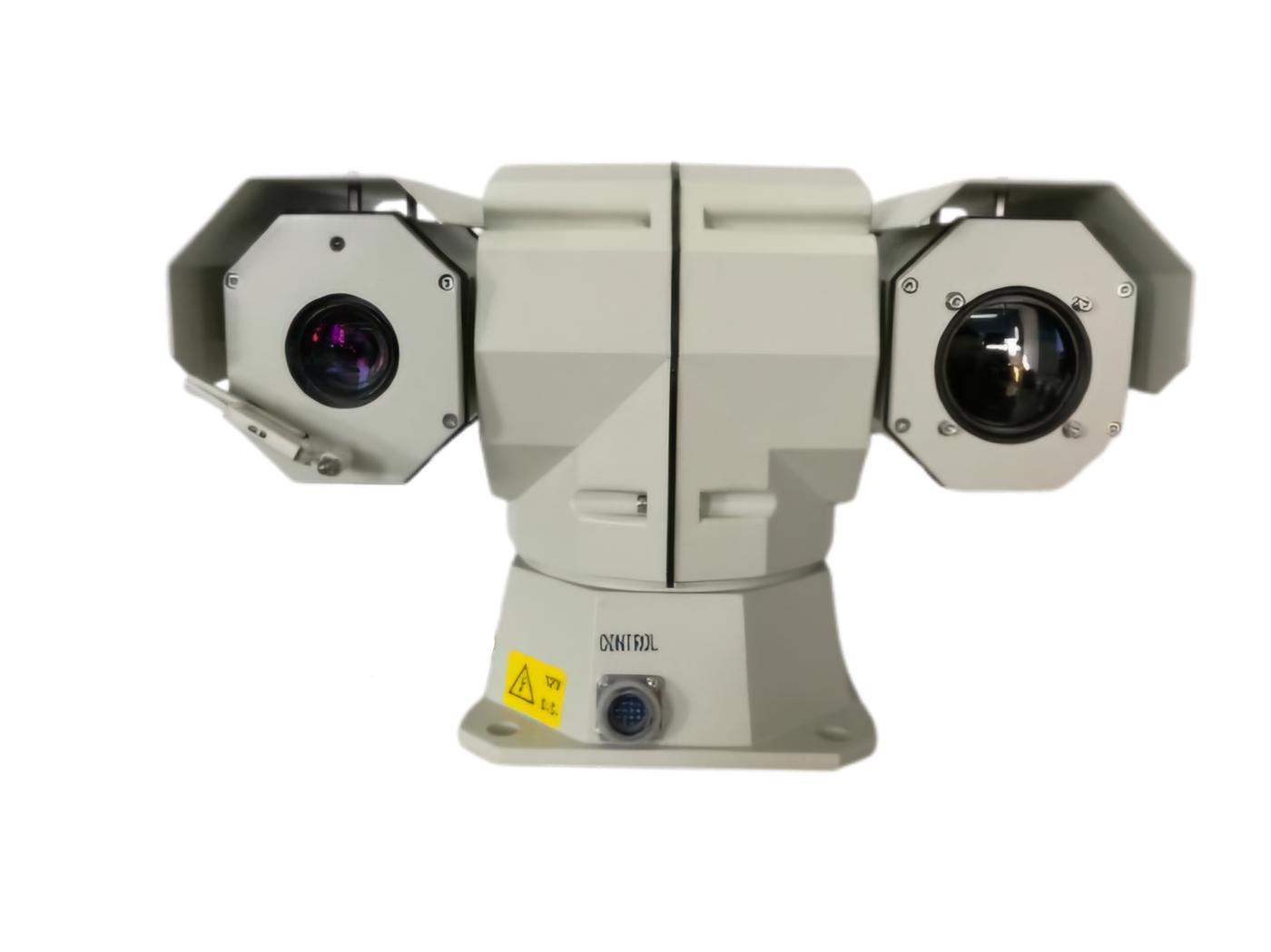
Dual-sensor bispectral head
4K optical + long-wave infrared in a single PTZ head.
-
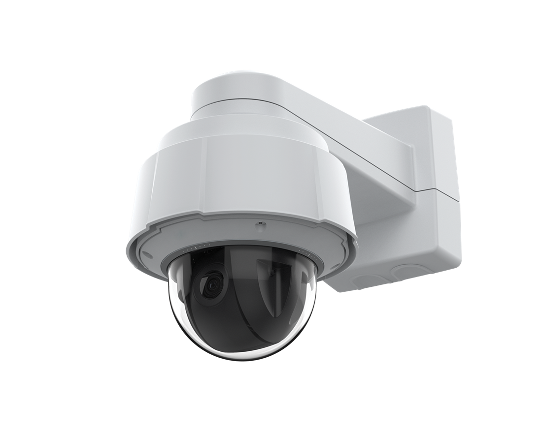
Axis PTZ dome
UHD optical PTZ — detection and close-up verification, day and night.
-
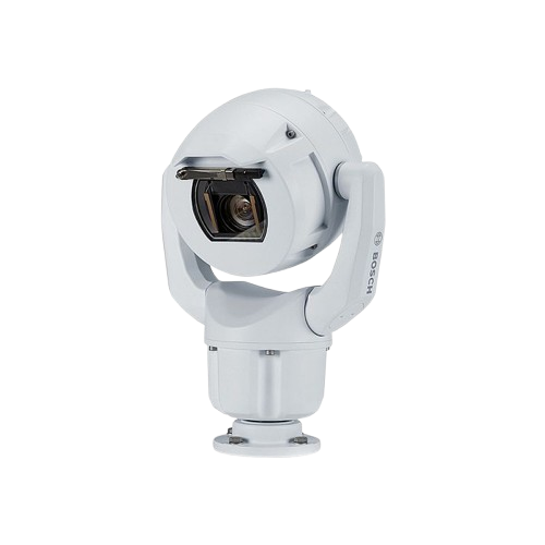
Bosch MIC
Ruggedised all-weather PTZ — the workhorse for Shield and the harshest sites.
06 · ALERT · one platform for the whole family
A geolocated alert, seconds after first smoke
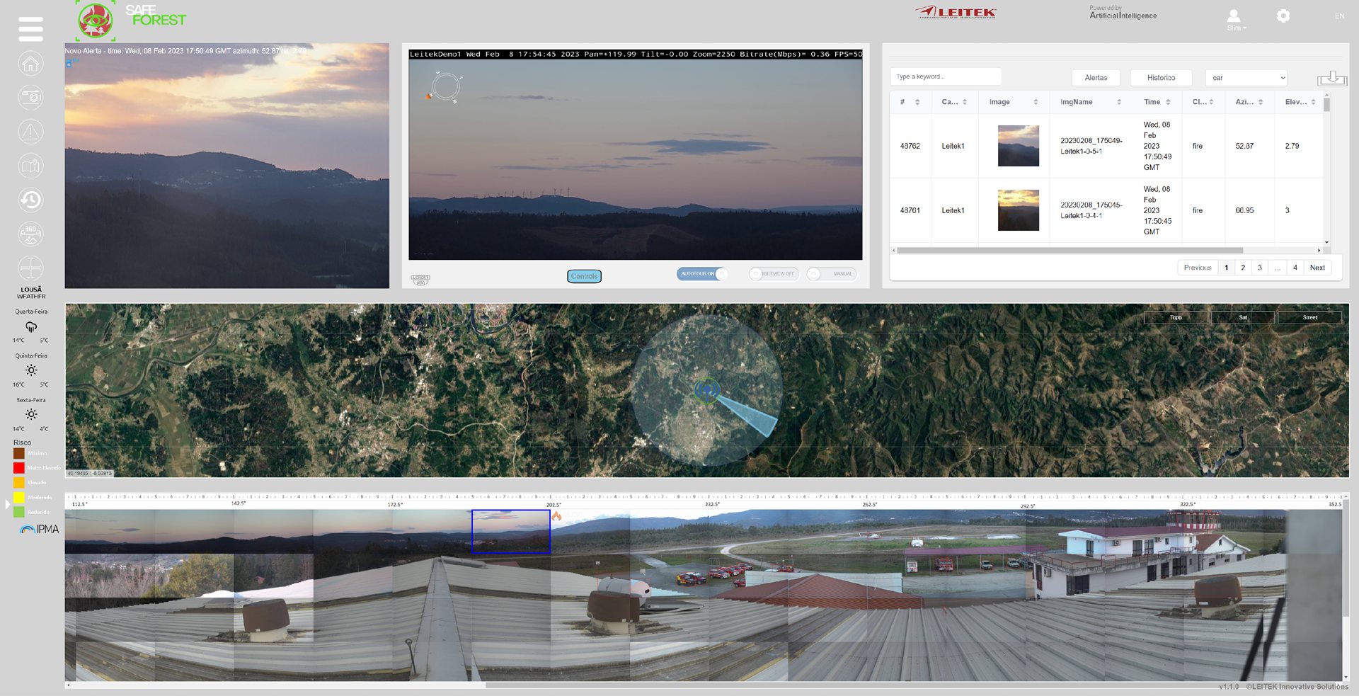
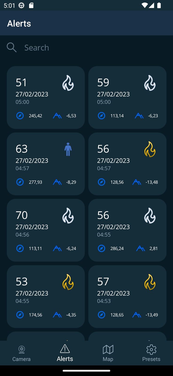
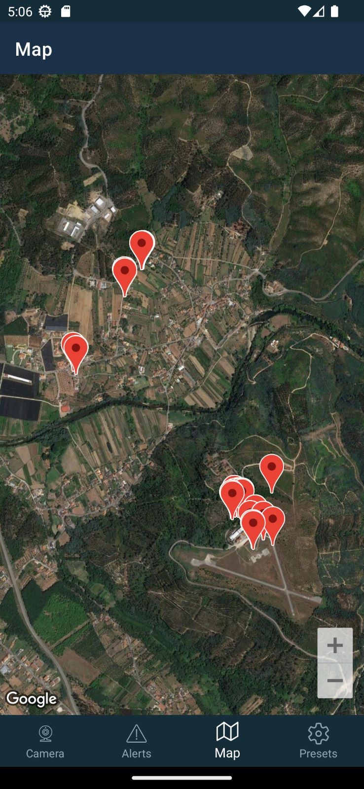
Whichever member you choose, the alert is the same: seconds after the first smoke, a geolocated alert reaches the SafeForest®-Guardian dashboard and the mobile app — so crews drive to the fire, not to a guess. Run it on your own infrastructure, or fully hosted with SafeForest®-Cloud.
- Live view, 360° panoramas, satellite mapping and augmented-reality overlays
- Confidence score, azimuth and precise geolocation on every alert
- Full alert history with frames and metadata
07 · ANTICIPATE · optional
IMFire — see the spread before it happens
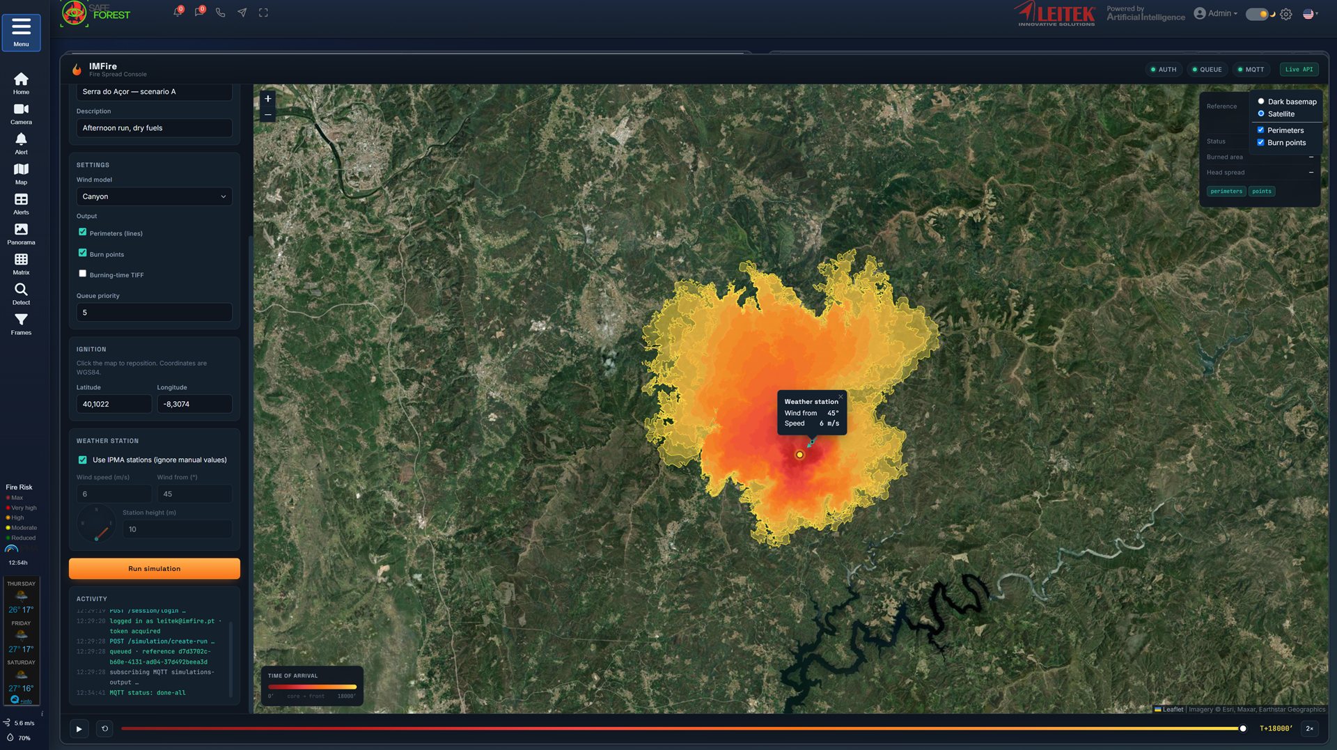
For every ignition, the optional IMFire console simulates fire spread over real terrain, wind and weather — so commanders position crews where the fire will be, not where it was.
- Physics-based spread simulation on satellite maps
- Live weather and IPMA station integration
- Time-of-arrival perimeters for evacuation and planning
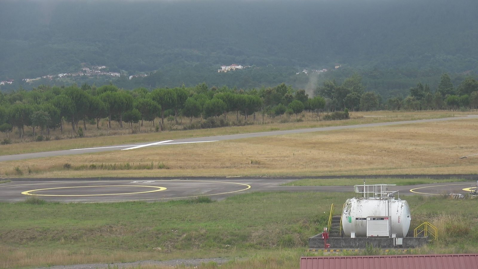
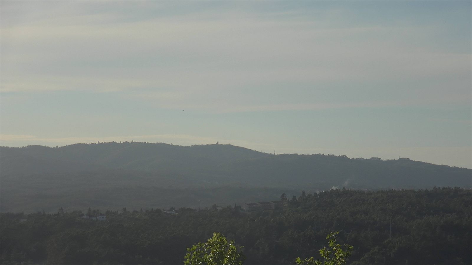
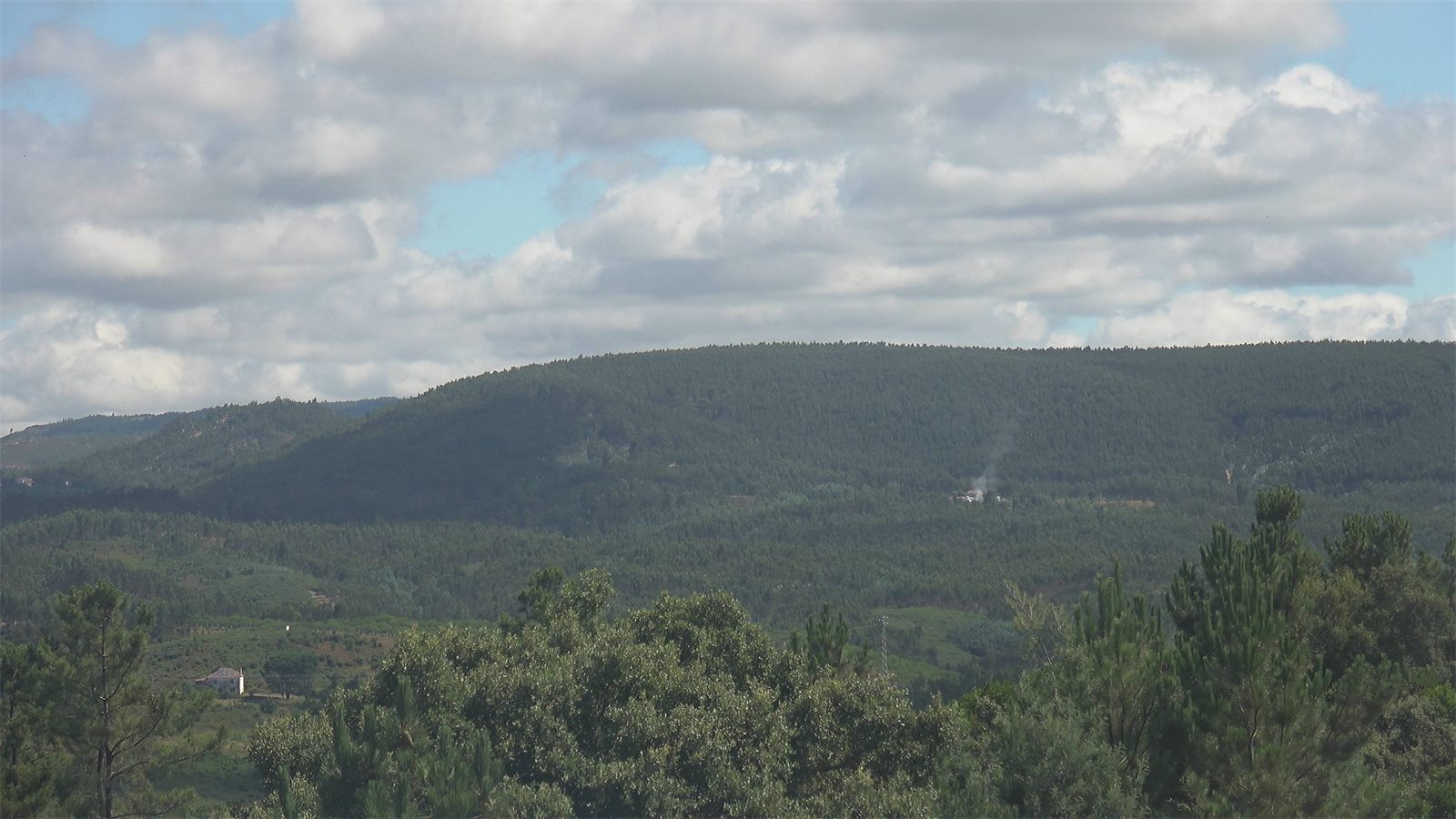
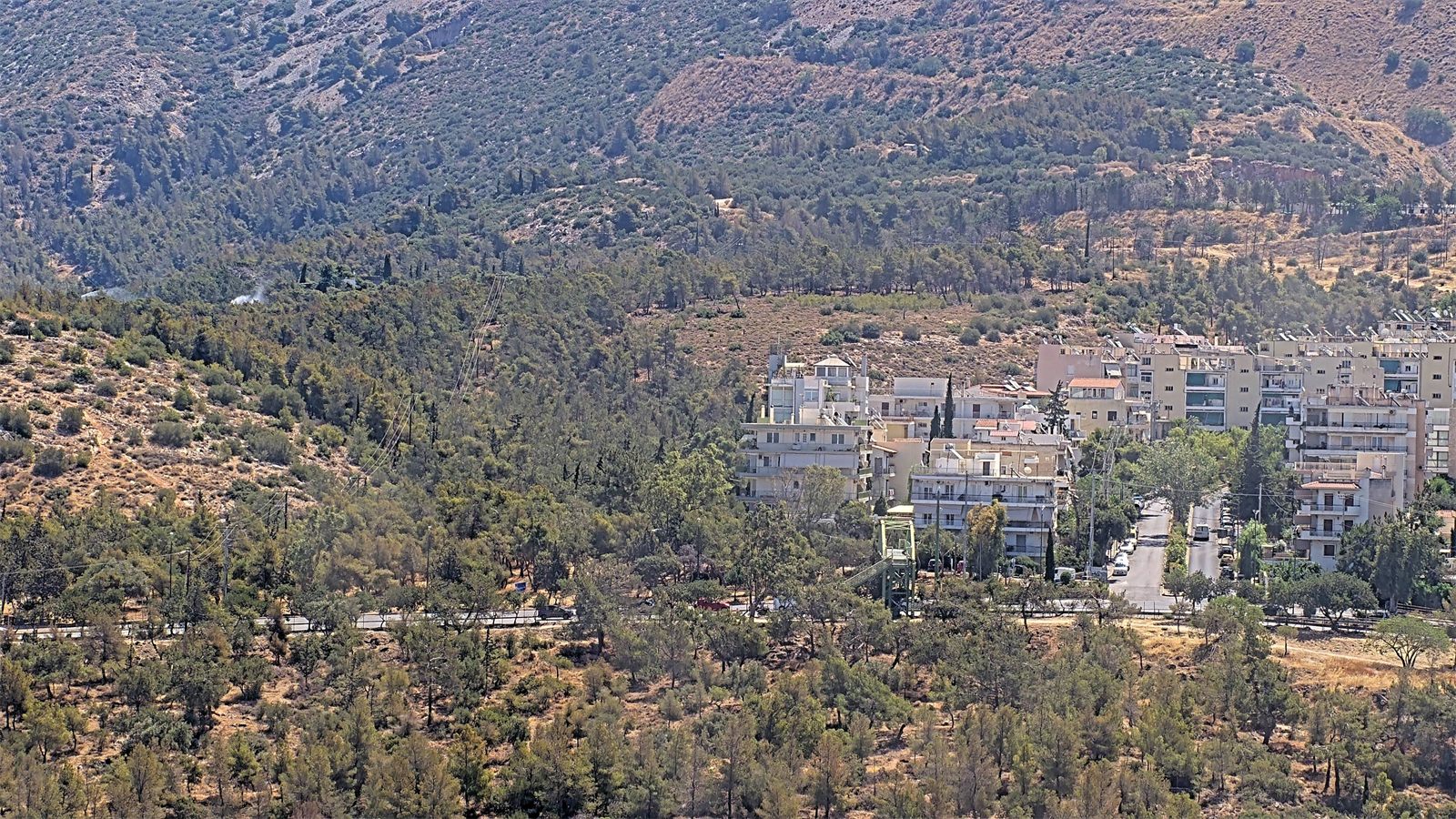
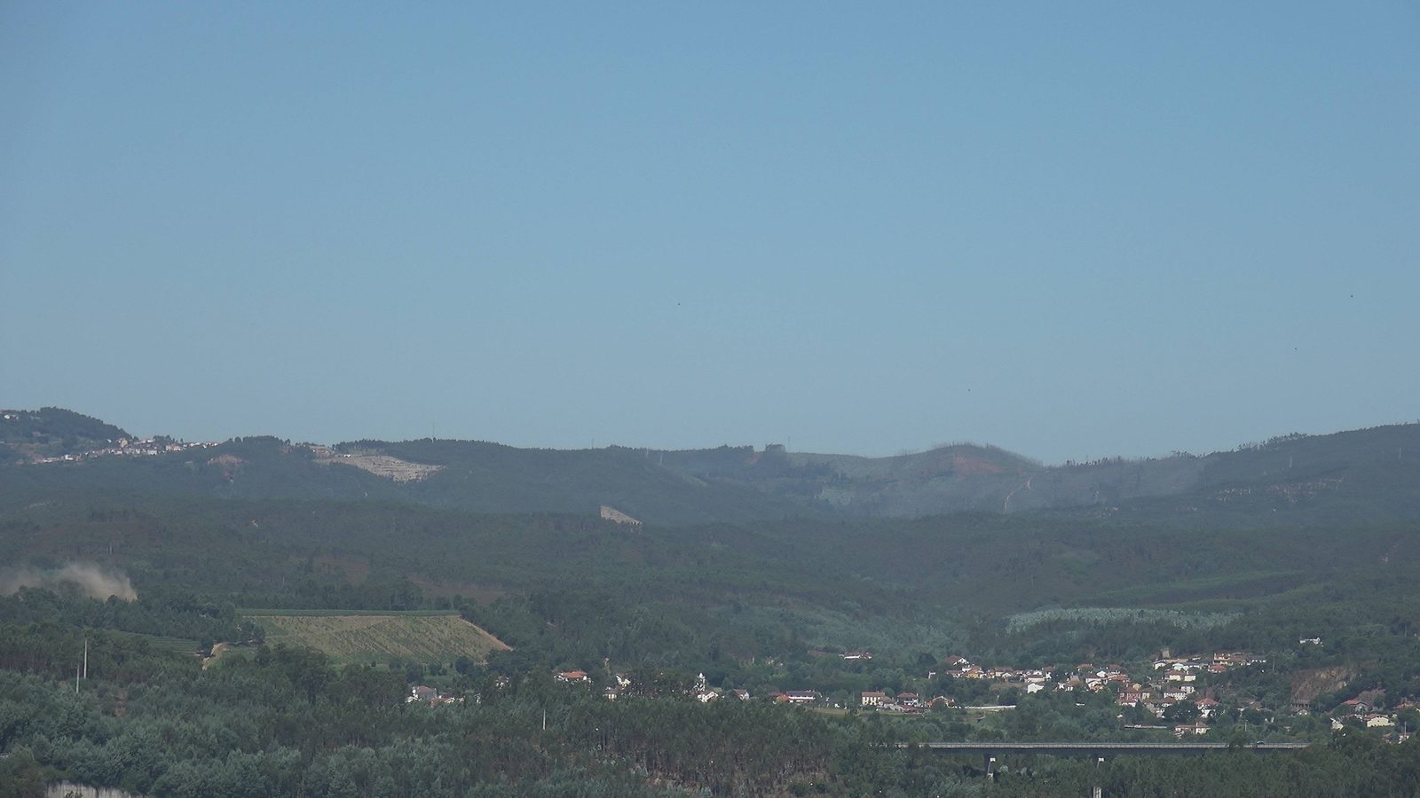
First smoke, caught in the field
Real, unedited frames from SafeForest® cameras on live deployments — each one marks the moment the AI caught a fire at its first wisp of smoke, before it had the chance to spread.
See it watching your terrain.
We'll walk you through the system live, with real detections — and design the grid that fits your terrain.